 vesseltracker.com
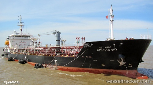
Vessel '701001064' IMO: 9426635, MMSI: 701001064
UTC, -34.73828, -57.80687, course: 232, speed: 0
UTC, -34.76240, -57.76972, course: 168, speed: 3.6
2026-01-15 21:42:35 UTC, -34.77014, -57.77346, course: 346, speed: 0.2
Live AIS position:
UTC. Near La Plata),
updated 2026-01-15 21:42:35 UTC.
Find the position of the vessel '701001064' on the map. The latter are known coordinates and path.
marine traffic ship tracker show on live map
The current position of vessel '701001064' is -34.77014 lat / -57.77346 lng. Updated: 2026-01-15 21:42:35 UTCDetails:
Last coordinates of the vessel:
UTC, -34.74093, -57.80740, course: 306, speed: 0UTC, -34.73828, -57.80687, course: 232, speed: 0
UTC, -34.76240, -57.76972, course: 168, speed: 3.6
2026-01-15 21:42:35 UTC, -34.77014, -57.77346, course: 346, speed: 0.2