 vesseltracker.com
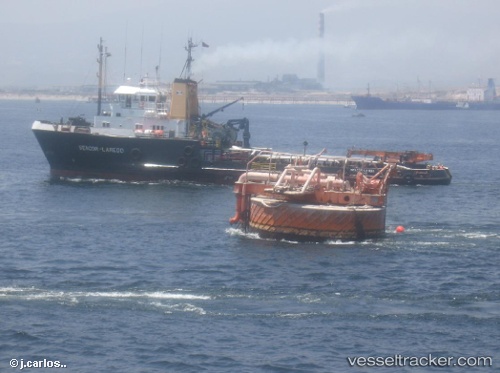
Find the position of the vessel El Calafate on the map. The latter are known coordinates and path.
marine traffic ship tracker show on live map
The current position of vessel El Calafate is -34.5742 lat / -58.3794 lng. Updated: 2025-08-21 12:48:31 UTCCurrently sailing under the flag of Argentina
Details:
Last coordinates of the vessel:
UTC, -34.5742, -58.3794, course: -1, speed: 0UTC, -34.5742, -58.3793, course: -1, speed: 0
UTC, -34.5742, -58.3794, course: -1, speed: 0
2025-08-21 12:48:31 UTC, -34.5742, -58.3794, course: -1, speed: 0