 vesseltracker.com
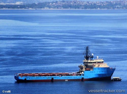
Vessel Maersk Ventura IMO: 9294094, MMSI: 710002450 Offshore Tug Supply Ship
UTC, -22.82333, -43.09167, course: -1, speed: 0
UTC, -22.82476, -43.09159, course: 319, speed: 0
2026-02-19 04:03:43 UTC, -22.82479, -43.09165, course: 319, speed: 0
Live AIS position:
UTC. Near NITEROI),
updated 2026-02-19 04:03:43 UTC.
Find the position of the vessel Maersk Ventura on the map. The latter are known coordinates and path.
marine traffic ship tracker show on live map
The current position of vessel Maersk Ventura is -22.82479 lat / -43.09165 lng. Updated: 2026-02-19 04:03:43 UTCDetails:
Last coordinates of the vessel:
UTC, -22.82481, -43.09163, course: 319, speed: 0UTC, -22.82333, -43.09167, course: -1, speed: 0
UTC, -22.82476, -43.09159, course: 319, speed: 0
2026-02-19 04:03:43 UTC, -22.82479, -43.09165, course: 319, speed: 0