 vesseltracker.com
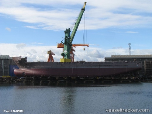
Vessel SABLE IMO: 9636022, MMSI: 710004737 Offshore Supply Ship
UTC, -22.85572, -43.13953, course: 196, speed: 0
UTC, -22.85500, -43.13833, course: -1, speed: 0
2026-01-29 01:40:10 UTC, -22.85582, -43.13941, course: 169, speed: 0
Live AIS position:
UTC. Near NITEROI),
updated 2026-01-29 01:40:10 UTC.
Find the position of the vessel SABLE on the map. The latter are known coordinates and path.
marine traffic ship tracker show on live map
The current position of vessel SABLE is -22.85582 lat / -43.13941 lng. Updated: 2026-01-29 01:40:10 UTCCurrently sailing under the flag of Brazil
SABLE built in 2013 year
Deadweight:
5462 tDetails:
Last coordinates of the vessel:
UTC, -22.85613, -43.14007, course: 60, speed: 0UTC, -22.85572, -43.13953, course: 196, speed: 0
UTC, -22.85500, -43.13833, course: -1, speed: 0
2026-01-29 01:40:10 UTC, -22.85582, -43.13941, course: 169, speed: 0