 vesseltracker.com
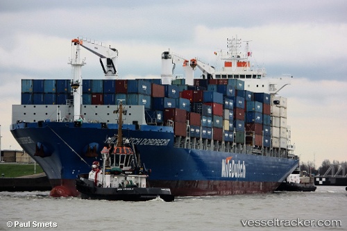
Vessel NC BRUMA IMO: 9612777, MMSI: 710006767 Cargo
UTC, -25.50059, -48.50038, course: 262, speed: 0
UTC, -25.50058, -48.50036, course: 262, speed: 0
2026-03-01 07:41:28 UTC, -25.50061, -48.50038, course: 262, speed: 0
Live AIS position:
UTC. Near Paranagua),
updated 2026-03-01 07:41:28 UTC.
Find the position of the vessel NC BRUMA on the map. The latter are known coordinates and path.
marine traffic ship tracker show on live map
The current position of vessel NC BRUMA is -25.50061 lat / -48.50038 lng. Updated: 2026-03-01 07:41:28 UTCDetails:
Last coordinates of the vessel:
UTC, -25.50059, -48.50035, course: 262, speed: 0UTC, -25.50059, -48.50038, course: 262, speed: 0
UTC, -25.50058, -48.50036, course: 262, speed: 0
2026-03-01 07:41:28 UTC, -25.50061, -48.50038, course: 262, speed: 0