 vesseltracker.com
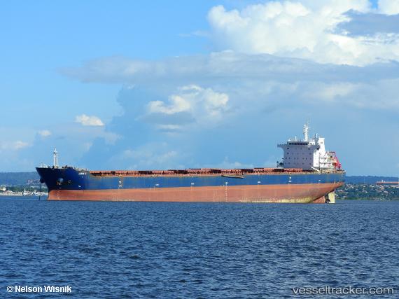
Vessel Juruti IMO: 9473339, MMSI: 710008790 Bulk Carrier
UTC, -23.00667, -43.99167, course: -1, speed: 0
UTC, -23.05228, -44.04997, course: 180, speed: 7.4
2026-02-22 03:40:50 UTC, -23.18756, -44.01171, course: 114, speed: 0.2
Live AIS position:
UTC. 11 nm S of ILHA GUAIBA),
updated 2026-02-22 03:40:50 UTC.
Find the position of the vessel Juruti on the map. The latter are known coordinates and path.
marine traffic ship tracker show on live map
The current position of vessel Juruti is -23.18756 lat / -44.01171 lng. Updated: 2026-02-22 03:40:50 UTCDetails:
Last coordinates of the vessel:
UTC, -23.00667, -43.99167, course: -1, speed: 0UTC, -23.00667, -43.99167, course: -1, speed: 0
UTC, -23.05228, -44.04997, course: 180, speed: 7.4
2026-02-22 03:40:50 UTC, -23.18756, -44.01171, course: 114, speed: 0.2