 vesseltracker.com
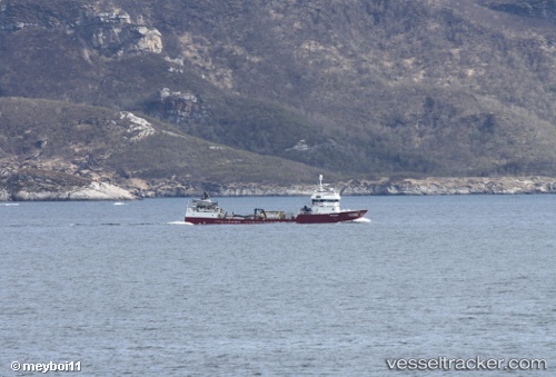
Vessel INTER AUSTRAL IMO: 9255048, MMSI: 725004656 Fish Carrier
UTC, -43.15091, -73.66062, course: 303, speed: 0
UTC, -43.38316, -73.61944, course: 179, speed: 7
2026-03-08 06:25:19 UTC, -43.62511, -73.45945, course: 156, speed: 8.7
Live Vessel INTER AUSTRAL Analytics (details, animations, etc.)
Live AIS position: UTC. 19 nm NE of Melinka), updated 2026-03-08 06:25:19 UTC.Find the position of the vessel INTER AUSTRAL on the map. The latter are known coordinates and path.
marine traffic ship tracker show on live map
The current position of vessel INTER AUSTRAL is -43.62511 lat / -73.45945 lng. Updated: 2026-03-08 06:25:19 UTCDetails:
Last coordinates of the vessel:
UTC, -43.15111, -73.66103, course: 29, speed: 0UTC, -43.15091, -73.66062, course: 303, speed: 0
UTC, -43.38316, -73.61944, course: 179, speed: 7
2026-03-08 06:25:19 UTC, -43.62511, -73.45945, course: 156, speed: 8.7