 vesseltracker.com
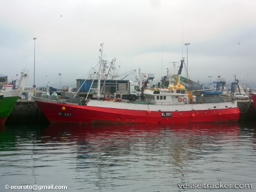
Find the position of the vessel Eder Sands on the map. The latter are known coordinates and path.
marine traffic ship tracker show on live map
The current position of vessel Eder Sands is 61.8133 lat / -0.583333 lng. Updated: 2024-05-02 12:23:06 UTCGross tonnage:
307Service entry:
1974-01-01T00:00:00ZDetails:
Last coordinates of the vessel:
UTC, 61.7717, -0.689998, course: -1, speed: 1UTC, 61.7783, -0.671667, course: -1, speed: 1
UTC, 61.8083, -0.598333, course: -1, speed: 1
2024-05-02 12:23:06 UTC, 61.8133, -0.583333, course: -1, speed: 1