 vesseltracker.com
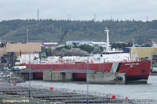
Find the position of the vessel Georges A Lebel on the map. The latter are known coordinates and path.
marine traffic ship tracker show on live map
The current position of vessel Georges A Lebel is 50.1603 lat / -66.4581 lng. Updated: 2024-04-30 00:30:22 UTCGross tonnage:
7908Service entry:
1975-01-01T00:00:00ZDetails:
Last coordinates of the vessel:
UTC, 49.7583, -66.589, course: 39, speed: 15.5UTC, 50.106, -66.4637, course: 35, speed: 15.4
UTC, 50.1603, -66.4581, course: 44, speed: 0
2024-04-30 00:30:22 UTC, 50.1603, -66.4581, course: 44, speed: 0