 vesseltracker.com
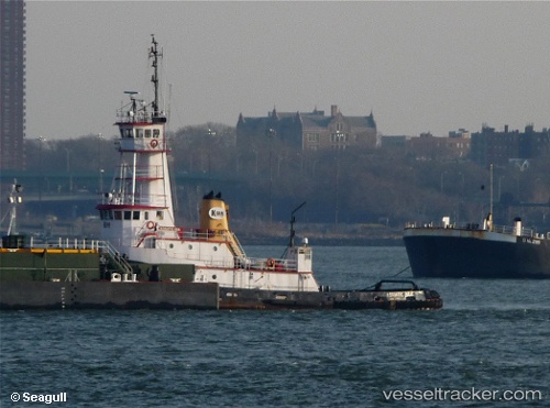
Find the position of the vessel Marie H on the map. The latter are known coordinates and path.
marine traffic ship tracker show on live map
The current position of vessel Marie H is 48.4471 lat / -124.777 lng. Updated: 2024-05-07 04:48:15 UTCCurrently sailing under the flag of USA
Marie H built in 1978 year
Details:
Last coordinates of the vessel:
UTC, 48.3941, -125.009, course: 60, speed: 8.7UTC, 48.3941, -125.009, course: 60, speed: 8.7
UTC, 48.4471, -124.777, course: 97, speed: 8.7
2024-05-07 04:48:15 UTC, 48.4471, -124.777, course: 97, speed: 8.7