 vesseltracker.com
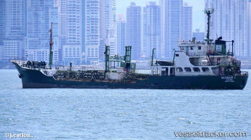
Find the position of the vessel 'ECOMAR II' on the map. The latter are known coordinates and path.
marine traffic ship tracker show on live map
The current position of vessel 'ECOMAR II' is -6.09517 lat / -81.2286 lng. Updated: 2024-05-14 04:38:21 UTCPort of registry:
Jakarta (capital city and smallest province of Indonesia, on the Island of Java)Service entry:
1978-01-01T00:00:00ZDetails:
Last coordinates of the vessel:
UTC, -5.75154, -81.2997, course: 175, speed: 7UTC, -5.92667, -81.2783, course: -1, speed: 7
UTC, -5.95667, -81.2717, course: -1, speed: 7
2024-05-14 04:38:21 UTC, -6.09517, -81.2286, course: 159, speed: 7.6