 vesseltracker.com
Find the position of the vessel De Da on the map. The latter are known coordinates and path.
marine traffic ship tracker show on live map
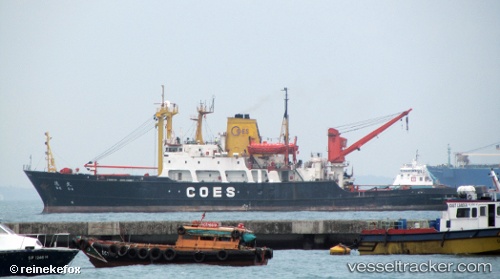
The current position of vessel De Da is 26.2122 lat / 53.7103 lng. Updated: 2024-04-24 10:18:47 UTCGross tonnage:
3917Service entry:
1979-01-01T00:00:00ZManufacturer:
Japan Marine United Corporation (Japanese shipbuilder)
Details:
Last coordinates of the vessel:
UTC, 26.2122, 53.7103, course: 305, speed: 13.1UTC, 26.2122, 53.7103, course: 305, speed: 13.1
UTC, 26.2122, 53.7103, course: 305, speed: 13.1
UTC, 26.2122, 53.7103, course: 305, speed: 13.1
2024-04-24 10:18:47 UTC, 26.2122, 53.7103, course: 305, speed: 13.1