 vesseltracker.com
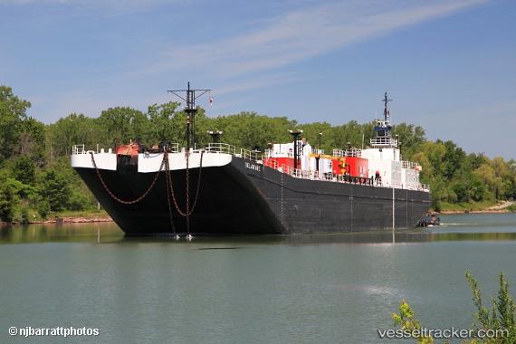
Find the position of the vessel Calusa Coast on the map. The latter are known coordinates and path.
marine traffic ship tracker show on live map
The current position of vessel Calusa Coast is 41.0406 lat / -71.5852 lng. Updated: 2024-04-28 11:20:19 UTCCurrently sailing under the flag of USA
Calusa Coast built in 1978 year
Details:
Last coordinates of the vessel:
UTC, 40.9367, -71.875, course: -1, speed: 6UTC, 40.9917, -71.7317, course: -1, speed: 6
UTC, 41.0167, -71.6567, course: -1, speed: 6
2024-04-28 11:20:19 UTC, 41.0406, -71.5852, course: 71, speed: 7.4