 vesseltracker.com
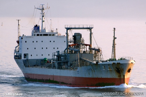
Find the position of the vessel Ga Yang on the map. The latter are known coordinates and path.
marine traffic ship tracker show on live map
The current position of vessel Ga Yang is 33.5215 lat / 125.966 lng. Updated: 2024-04-30 00:29:09 UTCCurrently sailing under the flag of Korea
Ga Yang built in 1981 year
Deadweight:
7883 tGross tonnage:
4678Service entry:
1981-01-01T00:00:00ZDetails:
Last coordinates of the vessel:
UTC, 33.5428, 125.936, course: -1, speed: 1UTC, 33.5387, 125.94, course: -1, speed: 0.7
UTC, 33.5309, 125.948, course: -1, speed: 0.9
2024-04-30 00:29:09 UTC, 33.5215, 125.966, course: -1, speed: 3