 vesseltracker.com
Find the position of the vessel MATRITSA on the map. The latter are known coordinates and path.
marine traffic ship tracker show on live map
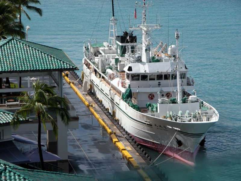
The current position of vessel MATRITSA is 71.0933 lat / 38.3683 lng. Updated: 2024-05-19 17:35:28 UTCCurrently sailing under the flag of Russia
MATRITSA built in 1989 year
Deadweight:
448 tPayload_mass:
448 tonneGross tonnage:
746Details:
Last coordinates of the vessel:
UTC, 71.4312, 39.1566, course: 207, speed: 8.7UTC, 71.375, 39.005, course: -1, speed: 9
UTC, 71.205, 38.6217, course: -1, speed: 9
2024-05-19 17:35:28 UTC, 71.0933, 38.3683, course: -1, speed: 9