 vesseltracker.com
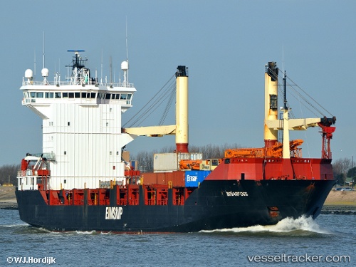
 HAYAT
HAYAT
Current Status
Where is the vessel?
HAYAT is currently in Near DUBAI, based on AIS data received about 1h ago.
Latest AIS update:
Current position: 25.27364° N, 55.25866° E (Near DUBAI)
Average speed (last 7 days): Loading…
Average speed (last 30 days): Loading…
Vessel profile: HAYAT is a Container Ship with dimensions m x m.
This page combines live AIS, route history, probable destination signals, nearby traffic, and port activity for practical vessel monitoring.
The current position of vessel HAYAT is 25.27364 lat / 55.25866 lng. Updated: 2026-03-26 02:30:21 UTCNearest reference points:
- Near DUBAI
- Near Free Port
- Near Dubai
Currently sailing under the flag of Saint Kitts and Nevis ![]()
Details:
Live Vessel HAYAT Analytics (details, animations, etc.)
Recent AIS points (UTC):
2026-03-25 19:46:36 UTC · 25.27401, 55.25884 · SOG 0 kn · COG 5°2026-03-25 22:12:41 UTC · 25.27455, 55.25932 · SOG 4.8 kn · COG 5°
2026-03-25 23:33:16 UTC · 25.27366, 55.25875 · SOG 0 kn · COG 5°
2026-03-26 02:30:21 UTC · 25.27364, 55.25866 · SOG 0 kn · COG 5°