 vesseltracker.com
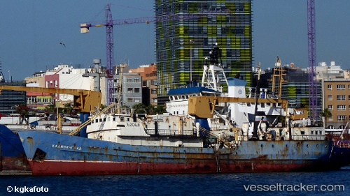
Find the position of the vessel Kaliningrad on the map. The latter are known coordinates and path.
marine traffic ship tracker show on live map
The current position of vessel Kaliningrad is 55.1474 lat / 49.1719 lng. Updated: 2024-04-29 03:29:11 UTCCurrently sailing under the flag of Russia
Kaliningrad built in 1962 year
Deadweight:
2070 tPayload_mass:
2070 tonneGross tonnage:
1914Service entry:
1962-01-01T00:00:00ZManufacturer:
SLKB Komarno – Slovak Shipyard Komárno (shipyard)
Details:
Last coordinates of the vessel:
UTC, 55.1474, 49.1719, course: -1, speed: 0UTC, 55.1474, 49.1719, course: -1, speed: 0
UTC, 55.1474, 49.1719, course: -1, speed: 0
2024-04-29 03:29:11 UTC, 55.1474, 49.1719, course: -1, speed: 0