 vesseltracker.com
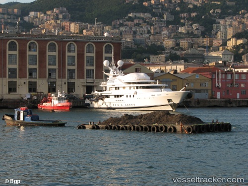
Find the position of the vessel Lady A on the map. The latter are known coordinates and path.
marine traffic ship tracker show on live map
The current position of vessel Lady A is 43.8785 lat / 8.02222 lng. Updated: 2024-05-03 21:48:04 UTCCurrently sailing under the flag of United Kingdom
Lady A built in 1986 year
Deadweight:
1 tPayload_mass:
1 tonneGross tonnage:
879Service entry:
1986-01-01T00:00:00ZDetails:
Last coordinates of the vessel:
UTC, 43.8785, 8.02222, course: 252, speed: 0UTC, 43.8785, 8.02222, course: 252, speed: 0
UTC, 43.8785, 8.02222, course: 252, speed: 0
2024-05-03 21:48:04 UTC, 43.8785, 8.02222, course: 252, speed: 0