 vesseltracker.com
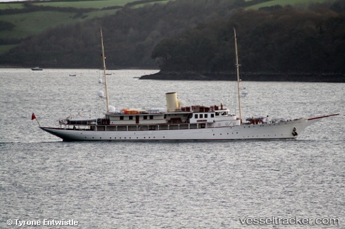
Find the position of the vessel Haida 1929 on the map. The latter are known coordinates and path.
marine traffic ship tracker show on live map
The current position of vessel Haida 1929 is 32.7033 lat / -117.162 lng. Updated: 2024-04-29 18:23:02 UTCCurrently sailing under the flag of Cayman Is
Haida 1929 built in 1929 year
Port of registry:
George Town (city situated on Grand Cayman island of the Cayman Islands; capital of the Cayman Islands)Service entry:
1929-01-01T00:00:00ZDetails:
Last coordinates of the vessel:
UTC, 32.7033, -117.162, course: -1, speed: 0UTC, 32.7041, -117.162, course: 217, speed: 0.1
UTC, 32.7033, -117.162, course: -1, speed: 0
2024-04-29 18:23:02 UTC, 32.7033, -117.162, course: -1, speed: 0