 vesseltracker.com
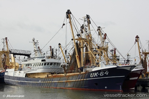
Find the position of the vessel Uk64 Mattanja on the map. The latter are known coordinates and path.
marine traffic ship tracker show on live map
The current position of vessel Uk64 Mattanja is 57.0631 lat / 7.05044 lng. Updated: 2024-05-02 04:08:58 UTCCurrently sailing under the flag of Netherlands
Uk64 Mattanja built in 2004 year
Details:
Last coordinates of the vessel:
UTC, 57.0339, 6.98147, course: 231, speed: 6.2UTC, 57.0473, 7.00949, course: 57, speed: 6
UTC, 57.014, 6.93246, course: 50, speed: 5.9
2024-05-02 04:08:58 UTC, 57.0631, 7.05044, course: 244, speed: 7.3