 vesseltracker.com
 MILITSA
Current Status
Where is the vessel?
MILITSA is currently in Near PERAMA, based on AIS data received about 2h ago.
Latest AIS update:
Current position: 37.96001° N, 23.57565° E (Near PERAMA)
Average speed (last 7 days): Loading…
Average speed (last 30 days): Loading…
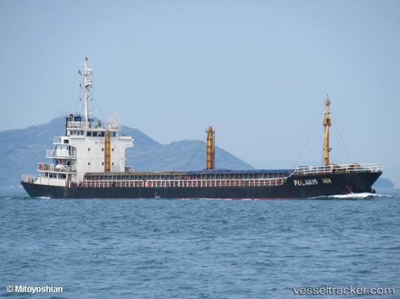
Vessel profile: MILITSA is a Cargo with dimensions m x m.
This page combines live AIS, route history, probable destination signals, nearby traffic, and port activity for practical vessel monitoring.
The current position of vessel MILITSA is 37.96001 lat / 23.57565 lng. Updated: 2026-03-25 15:43:08 UTCNearest reference points:
- Near PERAMA
- Near Keratsínion
- Near Drapetzona
Currently sailing under the flag of Togo ![]()
Details:
Live Vessel MILITSA Analytics (details, animations, etc.)
Recent AIS points (UTC):
2026-03-25 09:55:08 UTC · 37.96000, 23.57566 · SOG 0 kn · COG 188°2026-03-25 12:22:07 UTC · 37.96003, 23.57555 · SOG 0 kn · COG 185°
2026-03-25 13:48:11 UTC · 37.95833, 23.57500 · SOG 0 kn · COG -1°
2026-03-25 15:43:08 UTC · 37.96001, 23.57565 · SOG 0 kn · COG 188°