 vesseltracker.com
Find the position of the vessel Wilga on the map. The latter are known coordinates and path.
marine traffic ship tracker show on live map
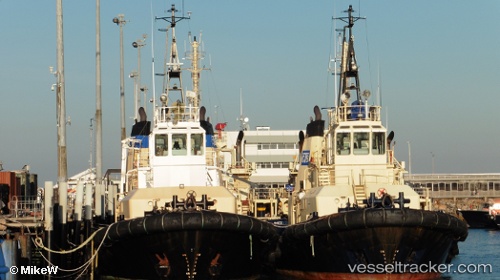
The current position of vessel Wilga is -41.185 lat / 146.363 lng. Updated: 2024-04-28 23:44:23 UTCPort of registry:
Fremantle (port city in Western Australia)Gross tonnage:
365Service entry:
1991-01-01T00:00:00ZDetails:
Last coordinates of the vessel:
UTC, -41.185, 146.363, course: -1, speed: 0UTC, -41.1851, 146.363, course: -1, speed: 0
UTC, -41.185, 146.363, course: -1, speed: 0
2024-04-28 23:44:23 UTC, -41.185, 146.363, course: -1, speed: 0