vessel Ain Dar 7 IMO: 9039236, Pollution Control Vessel
vesseltracker.com
Vessel Ain Dar 7 IMO: 9039236, Pollution Control Vessel
MMSI: 403701810 callsign: HZG5566 size: 12x35

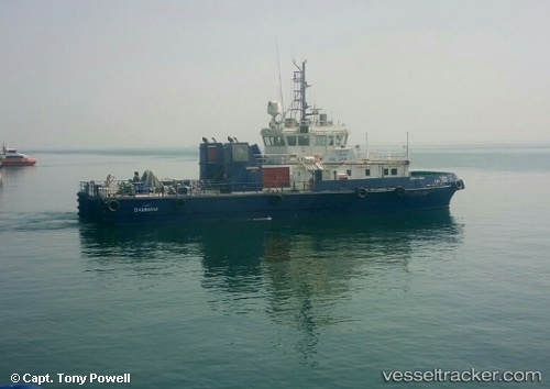
Find the position of the vessel Ain Dar 7 on the map. The latter are known coordinates and path.

marine traffic ship tracker show on live map

The current position of vessel Ain Dar 7 is 28.0059 lat / 48.769 lng. Updated: 2024-04-28 17:54:32 UTC
Details:


Last coordinates of the vessel:
UTC, 28.005, 48.7683, course: -1, speed: 0
UTC, 28.0059, 48.769, course: 102, speed: 0
2024-04-28 17:54:32 UTC, 28.0059, 48.769, course: 102, speed: 0


Most frequent ports a vessels calls at Ain Dar 7 (403701810):

Ras Tannurah, traffic: 9
Bandar Al Mishab, traffic: 3
Ras Al Mishab, traffic: 3

Link to the map:


Find another ship

Ain_Dar_7 (403701810) last ports (portcalls and passsages)

Ras Al Mishab | 2023-09-23 13:07:28
Ras Al Mishab | 2023-07-25 02:23:49
Ras Al Mishab | 2023-07-21 01:26:27
Ras Tannurah | 2023-02-21 08:10:16
Ras Tannurah | 2023-01-20 14:32:59
Ras Tannurah | 2023-01-16 12:01:40
Ras Tannurah | 2023-01-03 20:24:49
Ras Tannurah | 2022-12-30 17:35:05
Ras Tannurah | 2022-12-26 17:27:10
Ras Tannurah | 2022-11-07 11:28:26
Ras Tannurah | 2022-11-01 14:13:59
Ras Tannurah | 2022-10-28 13:57:48