 vesseltracker.com
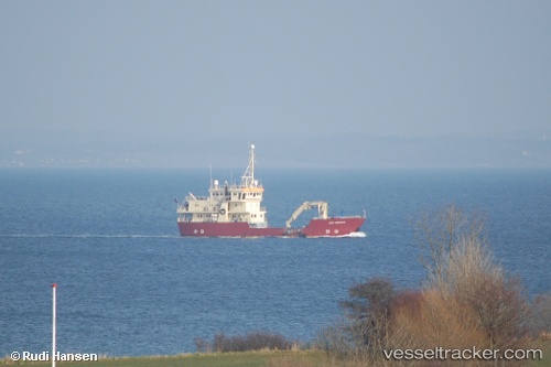
 GRAND EXPLORER
Current Status
Where is the vessel?
GRAND EXPLORER is currently in Near Rypefjord, based on AIS data received about 1h ago.
Latest AIS update:
Current position: 70.47142° N, 23.75173° E (Near Rypefjord)
Average speed (last 7 days): Loading…
Average speed (last 30 days): Loading…
Vessel profile: GRAND EXPLORER is a Buoy-laying Vessel with dimensions m x m.
This page combines live AIS, route history, probable destination signals, nearby traffic, and port activity for practical vessel monitoring.
The current position of vessel GRAND EXPLORER is 70.47142 lat / 23.75173 lng. Updated: 2026-03-25 18:22:56 UTCNearest reference points:
- Near RYPEFJORD
- Near Hammerfest
- Near Repparfjord
Currently sailing under the flag of Panama ![]()
Details:
Live Vessel GRAND EXPLORER Analytics (details, animations, etc.)
Recent AIS points (UTC):
2026-03-25 12:17:42 UTC · 70.39863, 22.71776 · SOG 7.8 kn · COG 95°2026-03-25 13:18:47 UTC · 70.33970, 23.03438 · SOG 5.8 kn · COG 51°
2026-03-25 15:40:17 UTC · 70.31721, 23.01982 · SOG 7.9 kn · COG 185°
2026-03-25 18:22:56 UTC · 70.47142, 23.75173 · SOG 8.8 kn · COG 44°