 vesseltracker.com
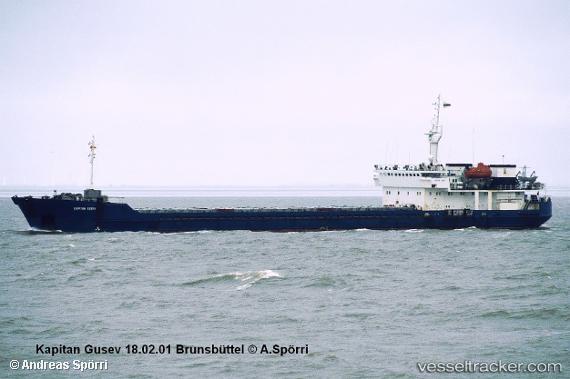
Find the position of the vessel Novocherkassk on the map. The latter are known coordinates and path.
marine traffic ship tracker show on live map
The current position of vessel Novocherkassk is 38.4305 lat / 27.1164 lng. Updated: 2024-05-04 06:14:02 UTCPort of registry:
Taganrog (port city in Rostov Oblast in southern Russia)Gross tonnage:
4110Service entry:
1993-01-01T00:00:00ZManufacturer:
Krasnoye Sormovo Factory No. 112 (Russian shipbuilder)
Details:
Last coordinates of the vessel:
UTC, 38.4317, 27.1142, course: 153, speed: 0UTC, 38.4318, 27.1147, course: 175, speed: 0
UTC, 38.4296, 27.115, course: 358, speed: 0.3
2024-05-04 06:14:02 UTC, 38.4305, 27.1164, course: 282, speed: 0
The ship also appears on the maps: