vessel 352986142 IMO: 9108099, vesseltracker.com
Vessel 352986142 IMO: 9108099,
MMSI: 352986142 callsign: size: x

Find the position of the vessel 352986142 on the map. The latter are known coordinates and path.

marine traffic ship tracker show on live map

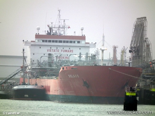
The current position of vessel 352986142 is 33.4687 lat / 29.8812 lng. Updated: 2024-05-03 23:02:23 UTC
Port of registry:
Mumbai (capital city in Maharashtra, India)
Payload_mass:
38518 tonne
Gross tonnage:
25300
Service entry:
1996-01-01T00:00:00Z
Details:


Last coordinates of the vessel:
UTC, 33.7692, 29.521, course: 132, speed: 11
UTC, 33.5867, 29.7433, course: -1, speed: 10
UTC, 33.5747, 29.7605, course: 135, speed: 10.9
2024-05-03 23:02:23 UTC, 33.4687, 29.8812, course: 165, speed: 10.3


Most frequent ports a vessels calls at 352986142 (352986142):

Sambu, traffic: 7
Evyap, traffic: 2
Istanbul, traffic: 2
Singapore, traffic: 2
Uskudar, traffic: 2
YARIMCA, traffic: 2
Canakkale, traffic: 1
Derince, traffic: 1
Diliskelesi, traffic: 1
Golcuk, traffic: 1
Marmara Island , traffic: 1
Port Said, traffic: 1
Samsun, traffic: 1
Gebze, traffic: 1
Bur Ibrahim, traffic: 1

Link to the map:


Find another ship

352986142 (352986142) last ports (portcalls and passsages)

Evyap | 2024-01-09 17:07:56
Golcuk | 2024-01-05 17:42:01
YARIMCA | 2024-01-05 16:59:46
Gebze | 2024-01-05 15:42:39
Uskudar | 2024-01-05 08:00:09
Samsun | 2023-12-28 09:17:16
Uskudar | 2023-12-26 06:54:46
Marmara Island | 2023-12-24 07:09:11
Canakkale | 2023-12-24 00:25:42
Port Said | 2023-12-17 22:04:46
Bur Ibrahim | 2023-12-17 02:02:59
Sambu | 2022-06-14 01:25:33
Sambu | 2022-05-23 07:49:44
Sambu | 2022-01-18 01:15:19
Singapore | 2022-01-18 00:45:26
Sambu | 2022-01-18 00:35:47