 vesseltracker.com
Find the position of the vessel Kadri on the map. The latter are known coordinates and path.
marine traffic ship tracker show on live map
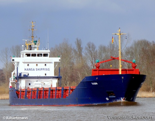
The current position of vessel Kadri is 53.852 lat / 8.99502 lng. Updated: 2024-04-29 15:44:10 UTCCurrently sailing under the flag of Malta
Kadri built in 1995 year
Home port:
Valletta (capital of Malta)Port of registry:
Valletta (capital of Malta)Deadweight:
4506 tGross tonnage:
3117Service entry:
1995-01-01T00:00:00ZManufacturer:
Ferus Smit (shipyard in Westerbroek, Netherlands).jpg)
Details:
Last coordinates of the vessel:
UTC, 53.9604, 7.91459, course: 75, speed: 11.8UTC, 53.9561, 8.60615, course: 112, speed: 10.7
UTC, 53.8456, 8.94128, course: 81, speed: 10.9
2024-04-29 15:44:10 UTC, 53.852, 8.99502, course: 53, speed: 10.4
The ship also appears on the maps: