 vesseltracker.com
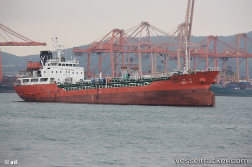
Find the position of the vessel '567002910' on the map. The latter are known coordinates and path.
marine traffic ship tracker show on live map
The current position of vessel '567002910' is 3.06297 lat / 100.771 lng. Updated: 2024-04-28 18:07:42 UTCPayload_mass:
3235 tonneGross tonnage:
2023Service entry:
1995-01-01T00:00:00ZDetails:
Last coordinates of the vessel:
UTC, 2.81657, 101.201, course: 231, speed: 10.4UTC, 2.81243, 101.111, course: 274, speed: 11.1
UTC, 3.03493, 100.793, course: 318, speed: 10.6
2024-04-28 18:07:42 UTC, 3.06297, 100.771, course: 321, speed: 10.4