 vesseltracker.com
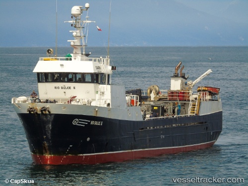
Find the position of the vessel Rio Dulce Ii on the map. The latter are known coordinates and path.
marine traffic ship tracker show on live map
The current position of vessel Rio Dulce Ii is -45.2872 lat / -73.2064 lng. Updated: 2024-04-28 22:50:57 UTCDetails:
Last coordinates of the vessel:
UTC, -45.1261, -73.4879, course: -1, speed: 9UTC, -45.2354, -73.516, course: -1, speed: 7.1
UTC, -45.2937, -73.3671, course: -1, speed: 7.1
2024-04-28 22:50:57 UTC, -45.2872, -73.2064, course: -1, speed: 8.4