 vesseltracker.com
Find the position of the vessel '231861000' on the map. The latter are known coordinates and path.
marine traffic ship tracker show on live map
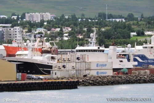
The current position of vessel '231861000' is 60.4067 lat / -6.67167 lng. Updated: 2024-05-05 15:08:15 UTCPort of registry:
Klaksvík (settlement on Borðoy, Faroe Islands)Gross tonnage:
2060Service entry:
1996-01-01T00:00:00ZManufacturer:
Flekkefjord Slipp & MaskinfabrikkDetails:
Last coordinates of the vessel:
UTC, 60.4417, -6.59167, course: -1, speed: 2UTC, 60.4183, -6.41333, course: -1, speed: 3
UTC, 60.4133, -6.53333, course: -1, speed: 4
2024-05-05 15:08:15 UTC, 60.4067, -6.67167, course: -1, speed: 3
The ship also appears on the maps: