 vesseltracker.com
Find the position of the vessel Eems Carrier on the map. The latter are known coordinates and path.
marine traffic ship tracker show on live map
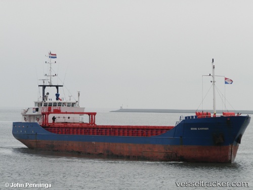
The current position of vessel Eems Carrier is 56.803 lat / 10.8964 lng. Updated: 2024-05-02 20:18:48 UTCCurrently sailing under the flag of Netherlands
Eems Carrier built in 1996 year
Port of registry:
Delfzijl (city and former municipality in Groningen, Netherlands)Deadweight:
2200 tPayload_mass:
2315 tonneGross tonnage:
1546Beam:
10.7 metreService entry:
1996-01-01T00:00:00ZManufacturer:
Scheepswerf Peters, KampenDetails:
Last coordinates of the vessel:
UTC, 56.3511, 11.118, course: 1, speed: 7.7UTC, 56.5997, 11.063, course: 355, speed: 7.3
UTC, 56.6251, 11.0568, course: 355, speed: 7.2
2024-05-02 20:18:48 UTC, 56.803, 10.8964, course: 316, speed: 7.9