 vesseltracker.com
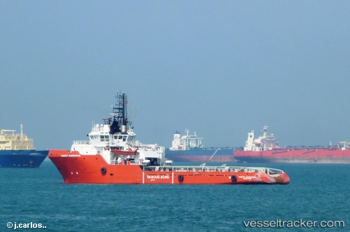
Find the position of the vessel Tag 21 on the map. The latter are known coordinates and path.
marine traffic ship tracker show on live map
The current position of vessel Tag 21 is 68.7592 lat / -61.4471 lng. Updated: 2024-04-27 12:33:59 UTCDetails:
Last coordinates of the vessel:
UTC, 68.7592, -61.4471, course: -1, speed: 3.9UTC, 68.7592, -61.4471, course: -1, speed: 3.9
2024-04-27 12:33:59 UTC, 68.7592, -61.4471, course: -1, speed: 3.9