vessel 'A STAR' IMO: 9159816, vesseltracker.com
Vessel 'A STAR' IMO: 9159816,
MMSI: 626074000 callsign: size: x

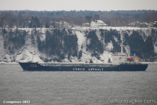
Find the position of the vessel 'A STAR' on the map. The latter are known coordinates and path.

marine traffic ship tracker show on live map

The current position of vessel 'A STAR' is 20.6176 lat / 106.883 lng. Updated: 2024-05-07 23:46:03 UTC
Payload_mass:
11047 tonne
Gross tonnage:
9020
Service entry:
1999-01-01T00:00:00Z
Details:


Last coordinates of the vessel:
UTC, 20.6182, 106.883, course: 153, speed: 0
UTC, 20.6178, 106.883, course: 117, speed: 0
UTC, 20.6177, 106.883, course: 115, speed: 0
2024-05-07 23:46:03 UTC, 20.6176, 106.883, course: 111, speed: 0


Most frequent ports a vessels calls at 'A STAR' (626074000):

Sharjah, traffic: 7
Haldia, traffic: 5
Sambu, traffic: 3
Chittagong, traffic: 3
Haiphong, traffic: 2
Jazireh-Ye Sirri, traffic: 2
Singapore, traffic: 2
Sirri Island, traffic: 2
Trincomalee, traffic: 1
Vung Tau, traffic: 1
Cape St. Jacques, traffic: 1

Link to the map:


Find another ship

'A_STAR' (626074000) last ports (portcalls and passsages)

Sharjah | 2024-01-09 03:42:30
Sirri Island | 2024-01-08 22:23:12
Sharjah | 2023-12-30 21:48:18
Sirri Island | 2023-12-30 06:11:03
Sharjah | 2022-12-31 08:57:04
Sharjah | 2022-12-15 03:04:21
Haiphong | 2022-10-14 22:58:18
Sambu | 2022-10-06 22:08:33
Sharjah | 2022-09-21 08:04:07
Singapore | 2022-06-28 22:47:34
Sambu | 2022-06-28 22:21:41
Haiphong | 2022-06-21 16:15:41
Vung Tau | 2022-06-16 04:18:22
Singapore | 2022-06-10 10:34:35
Sambu | 2022-06-10 10:28:19
Trincomalee | 2022-05-10 01:53:41
Haldia | 2022-05-04 04:02:14
Chittagong | 2022-03-24 10:10:03
Haldia | 2022-02-15 04:38:49
Sharjah | 2022-02-01 14:20:11
Haldia | 2022-01-09 21:20:42
Chittagong | 2021-12-01 12:14:57