 vesseltracker.com
Find the position of the vessel Roseline A on the map. The latter are known coordinates and path.
marine traffic ship tracker show on live map
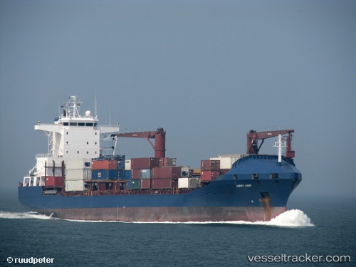
The current position of vessel Roseline A is 36.888 lat / 6.90134 lng. Updated: 2024-05-18 07:30:55 UTCCurrently sailing under the flag of Turkey
Roseline A built in 1998 year
Port of registry:
İzmir (city in İzmir Province, Turkey)Deadweight:
16727 tPayload_mass:
16833 tonneGross tonnage:
11153Operator:
ARKAS Line (shipping company of Turkey)Service entry:
1998-01-01T00:00:00ZManufacturer:
Peene-Werft (German company)
Details:
Last coordinates of the vessel:
UTC, 36.8879, 6.90143, course: 30, speed: 0UTC, 36.8879, 6.90129, course: 29, speed: 0
UTC, 36.888, 6.90144, course: 29, speed: 0.1
2024-05-18 07:30:55 UTC, 36.888, 6.90134, course: 30, speed: 0