 vesseltracker.com
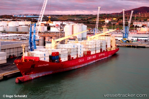
Find the position of the vessel Cala Palma on the map. The latter are known coordinates and path.
marine traffic ship tracker show on live map
The current position of vessel Cala Palma is 10.0009 lat / -83.0778 lng. Updated: 2024-05-05 06:39:35 UTCCurrently sailing under the flag of Italy
Cala Palma built in 2000 year
Port of registry:
Genoa (Italian city)Deadweight:
16024 tGross tonnage:
14868Service entry:
2000-01-01T00:00:00ZDetails:
Last coordinates of the vessel:
UTC, 10.001, -83.0778, course: 8, speed: 0UTC, 10.001, -83.0778, course: 8, speed: 0
UTC, 10.001, -83.0778, course: 8, speed: 0
2024-05-05 06:39:35 UTC, 10.0009, -83.0778, course: 8, speed: 0