 vesseltracker.com
Find the position of the vessel 'TAMA' on the map. The latter are known coordinates and path.
marine traffic ship tracker show on live map
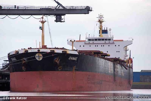
The current position of vessel 'TAMA' is 24.5265 lat / 56.8548 lng. Updated: 2024-05-03 23:40:29 UTCPort of registry:
Piraeus (city and port of Attica region, Greece)Payload_mass:
75106 tonneGross tonnage:
40622Beam:
32.3 metreService entry:
2001-01-01T00:00:00ZManufacturer:
Hyundai Samho Heavy Industries (company)Details:
Last coordinates of the vessel:
UTC, 24.525, 56.8533, course: -1, speed: 0UTC, 24.5265, 56.8547, course: 200, speed: 0.6
UTC, 24.525, 56.8533, course: -1, speed: 0
2024-05-03 23:40:29 UTC, 24.5265, 56.8548, course: 142, speed: 0