 vesseltracker.com
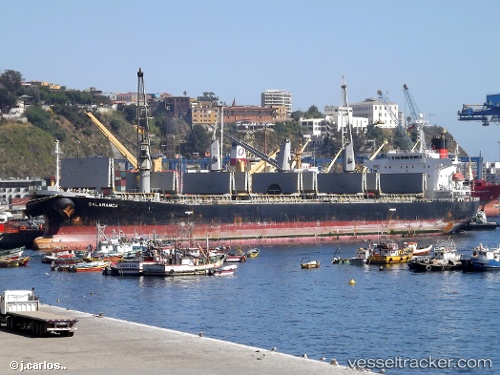
Find the position of the vessel FORUM on the map. The latter are known coordinates and path.
marine traffic ship tracker show on live map
The current position of vessel FORUM is -4.37667 lat / 113.882 lng. Updated: 2024-04-29 00:26:12 UTCCurrently sailing under the flag of Indonesia
FORUM built in 2000 year
Deadweight:
46743 tPayload_mass:
46743 tonneGross tonnage:
26084Service entry:
2000-01-01T00:00:00ZManufacturer:
Shinkurushima Toyohashi ShipbuildingDetails:
Last coordinates of the vessel:
UTC, -4.345, 113.497, course: -1, speed: 8UTC, -4.345, 113.503, course: -1, speed: 8
UTC, -4.36333, 113.738, course: -1, speed: 8
2024-04-29 00:26:12 UTC, -4.37667, 113.882, course: -1, speed: 8