 vesseltracker.com
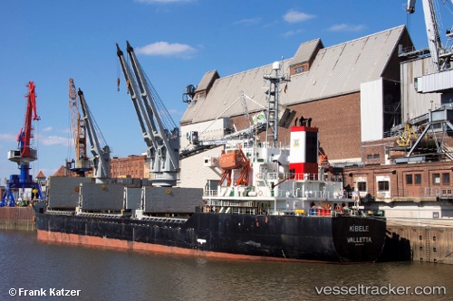
Find the position of the vessel Leader M on the map. The latter are known coordinates and path.
marine traffic ship tracker show on live map
The current position of vessel Leader M is 46.5082 lat / 30.7307 lng. Updated: 2024-05-07 06:22:25 UTCCurrently sailing under the flag of Barbados
Port of registry:
Batumi (second largest city of Georgia)Speed:
13.3 knotGross tonnage:
7265Service entry:
2000-01-01T00:00:00ZDetails:
Last coordinates of the vessel:
UTC, 46.5083, 30.7308, course: 266, speed: 0.1UTC, 46.5083, 30.7308, course: 266, speed: 0.1
UTC, 46.5081, 30.7307, course: 265, speed: 0.1
2024-05-07 06:22:25 UTC, 46.5082, 30.7307, course: 266, speed: 0.2
The ship also appears on the maps: