 vesseltracker.com
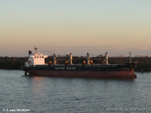
Find the position of the vessel Rashad on the map. The latter are known coordinates and path.
marine traffic ship tracker show on live map
The current position of vessel Rashad is -5.10667 lat / 114.325 lng. Updated: 2024-04-29 04:00:06 UTCPayload_mass:
48377 tonneGross tonnage:
27581Service entry:
2001-01-01T00:00:00ZDetails:
Last coordinates of the vessel:
UTC, -4.855, 114.828, course: -1, speed: 9UTC, -5.01167, 114.547, course: -1, speed: 9
UTC, -5.08333, 114.386, course: -1, speed: 8.7
2024-04-29 04:00:06 UTC, -5.10667, 114.325, course: -1, speed: 9