 vesseltracker.com
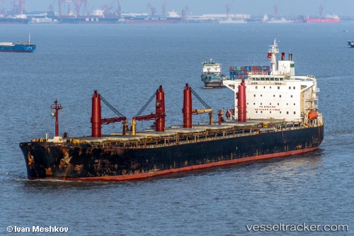
Find the position of the vessel M V. Artaria on the map. The latter are known coordinates and path.
marine traffic ship tracker show on live map
The current position of vessel M V. Artaria is 16.0433 lat / 70.9883 lng. Updated: 2024-05-05 21:00:50 UTCCurrently sailing under the flag of Iran
M V. Artaria built in 2001 year
Deadweight:
72162 tPayload_mass:
72162 tonneGross tonnage:
39517Service entry:
2001-01-01T00:00:00ZManufacturer:
Hyundai Mipo Dockyard (South Korean shipbuilding company)Details:
Last coordinates of the vessel:
UTC, 15.4386, 71.4557, course: 324, speed: 12.2UTC, 15.6333, 71.3017, course: -1, speed: 12
UTC, 15.8817, 71.115, course: -1, speed: 12
2024-05-05 21:00:50 UTC, 16.0433, 70.9883, course: -1, speed: 12