 vesseltracker.com
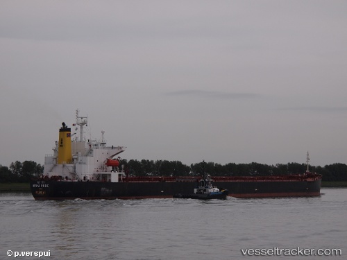
Find the position of the vessel Maha Roos on the map. The latter are known coordinates and path.
marine traffic ship tracker show on live map
The current position of vessel Maha Roos is 44.1544 lat / 35.4 lng. Updated: 2024-04-29 02:42:45 UTCPayload_mass:
75592 tonneGross tonnage:
38731Service entry:
2001-01-01T00:00:00ZDetails:
Last coordinates of the vessel:
UTC, 43.4846, 34.1194, course: 51, speed: 12.2UTC, 44.0933, 35.2921, course: 52, speed: 11.3
UTC, 44.1544, 35.4, course: 52, speed: 11.2
2024-04-29 02:42:45 UTC, 44.1544, 35.4, course: 52, speed: 11.2