 vesseltracker.com
Find the position of the vessel QUESO EDAM on the map. The latter are known coordinates and path.
marine traffic ship tracker show on live map
The current position of vessel QUESO EDAM is -6.28638 lat / 9.82281 lng. Updated: 2024-04-29 02:20:14 UTCCurrently sailing under the flag of Panama
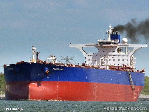
QUESO EDAM built in 2002 year
Port of registry:
Dammam (port city in the Eastern Province, Saudi Arabia)Deadweight:
316808 tGross tonnage:
164292Service entry:
2002-01-01T00:00:00ZManufacturer:
Hyundai Heavy Industries (company)
Details:
Last coordinates of the vessel:
UTC, -6.28428, 9.81999, course: 347, speed: 0.1UTC, -6.28505, 9.82154, course: 13, speed: 0.1
UTC, -6.28549, 9.82242, course: 19, speed: 0.1
2024-04-29 02:20:14 UTC, -6.28638, 9.82281, course: 25, speed: 0.1
The ship also appears on the maps: