 vesseltracker.com
Find the position of the vessel J M A on the map. The latter are known coordinates and path.
marine traffic ship tracker show on live map
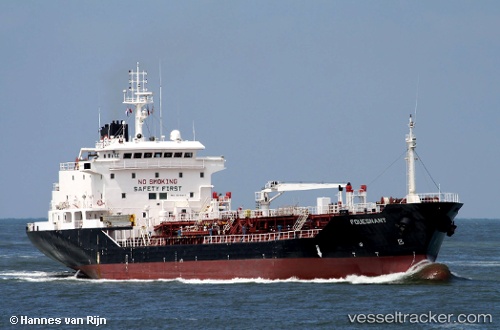
The current position of vessel J M A is 9.96657 lat / 76.2595 lng. Updated: 2024-05-03 14:28:23 UTCCurrently sailing under the flag of Cook islands
J M A built in 2001 year
Deadweight:
6902 tDetails:
Last coordinates of the vessel:
UTC, 9.96659, 76.2595, course: 124, speed: 0UTC, 9.96658, 76.2595, course: 124, speed: 0
UTC, 9.96657, 76.2595, course: 124, speed: 0
2024-05-03 14:28:23 UTC, 9.96657, 76.2595, course: 124, speed: 0