 vesseltracker.com
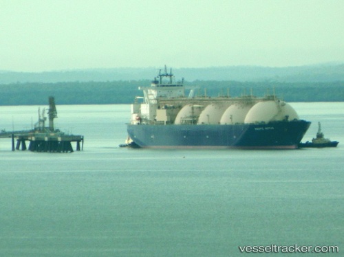
Find the position of the vessel Pacific Notus on the map. The latter are known coordinates and path.
marine traffic ship tracker show on live map
The current position of vessel Pacific Notus is -19.5457 lat / 115.069 lng. Updated: 2024-05-07 20:05:16 UTCPort of registry:
Nassau (capital city of the Commonwealth of the Bahamas)Service entry:
2003-01-01T00:00:00ZManufacturer:
Mitsubishi Heavy Industries Nagasaki Shipyard & Machinery (Japanese wharf and factory in Nagasaki)
Details:
Last coordinates of the vessel:
UTC, -20.1377, 114.524, course: 24, speed: 15.5UTC, -20.0248, 114.612, course: 48, speed: 15.3
UTC, -19.8494, 114.801, course: 42, speed: 15.1
2024-05-07 20:05:16 UTC, -19.5457, 115.069, course: 43, speed: 15
The ship also appears on the maps: