 vesseltracker.com
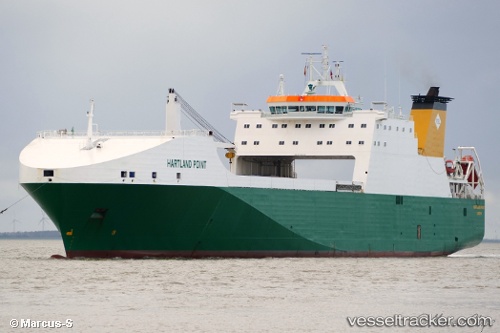
Find the position of the vessel Hartland Point on the map. The latter are known coordinates and path.
marine traffic ship tracker show on live map
The current position of vessel Hartland Point is -20.7256 lat / -25.2682 lng. Updated: 2025-07-06 07:27:53 UTCCurrently sailing under the flag of United Kingdom
Hartland Point built in 2002 year
Deadweight:
13274 tDetails:
Last coordinates of the vessel:
UTC, -20.2674, -24.8713, course: 219, speed: 14.4UTC, -20.3679, -24.9628, course: 220, speed: 14.4
UTC, -20.5406, -25.1125, course: 217, speed: 14.5
2025-07-06 07:27:53 UTC, -20.7256, -25.2682, course: 217, speed: 14.3