 vesseltracker.com
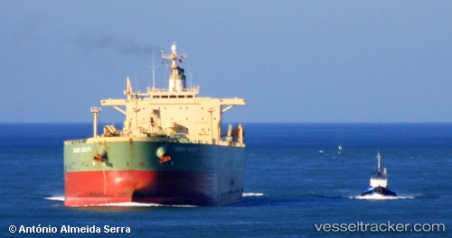
Find the position of the vessel Santa Cruz I on the map. The latter are known coordinates and path.
marine traffic ship tracker show on live map
The current position of vessel Santa Cruz I is 22.1587 lat / 114.149 lng. Updated: 2024-04-29 04:04:03 UTCCurrently sailing under the flag of Liberia
Santa Cruz I built in 2002 year
Deadweight:
84999 tPayload_mass:
84999 tonneGross tonnage:
50199Service entry:
2002-01-01T00:00:00ZManufacturer:
Sasebo Heavy Industries (Japanese machinery and shipbuilding company)
Details:
Last coordinates of the vessel:
UTC, 22.1586, 114.145, course: 76, speed: 0.1UTC, 22.1574, 114.147, course: 349, speed: 0.2
UTC, 22.1586, 114.149, course: 285, speed: 0.1
2024-04-29 04:04:03 UTC, 22.1587, 114.149, course: 275, speed: 0