 vesseltracker.com
Find the position of the vessel Marietje Hester on the map. The latter are known coordinates and path.
marine traffic ship tracker show on live map
The current position of vessel Marietje Hester is 59.7275 lat / 20.392 lng. Updated: 2024-05-07 19:41:45 UTCCurrently sailing under the flag of Netherlands
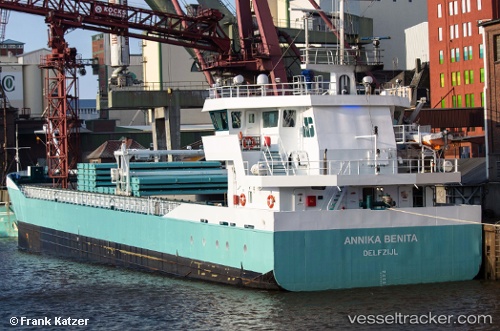
Marietje Hester built in 2005 year
Port of registry:
Delfzijl (city and former municipality in Groningen, Netherlands)Speed:
12 knotDeadweight:
3200 tGross tonnage:
2409Service entry:
2005-01-01T00:00:00ZManufacturer:
Thecla Bodewes Shipyards (Dutch shipbuilding company)Details:
Last coordinates of the vessel:
UTC, 59.7404, 19.9244, course: 87, speed: 10.5UTC, 59.7405, 19.9513, course: 87, speed: 10.4
UTC, 59.7407, 20.1182, course: 86, speed: 10.7
2024-05-07 19:41:45 UTC, 59.7275, 20.392, course: 110, speed: 10.8