 vesseltracker.com
Find the position of the vessel Cape Maria on the map. The latter are known coordinates and path.
marine traffic ship tracker show on live map
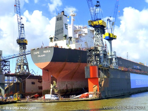
The current position of vessel Cape Maria is 16.3584 lat / 125.305 lng. Updated: 2024-05-04 08:24:09 UTCPayload_mass:
170012 tonneGross tonnage:
87440Beam:
45.04 metreService entry:
2005-01-01T00:00:00ZManufacturer:
Hyundai Samho Heavy Industries (company)Details:
Last coordinates of the vessel:
UTC, 16.0561, 125.573, course: 317, speed: 11.6UTC, 16.0561, 125.573, course: 317, speed: 11.6
UTC, 16.3584, 125.305, course: 314, speed: 11.3
2024-05-04 08:24:09 UTC, 16.3584, 125.305, course: 314, speed: 11.3