 vesseltracker.com
Find the position of the vessel VAIGAI on the map. The latter are known coordinates and path.
marine traffic ship tracker show on live map
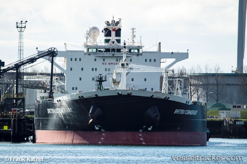
The current position of vessel VAIGAI is 12.8975 lat / 74.6504 lng. Updated: 2024-05-08 00:45:50 UTCCurrently sailing under the flag of Panama
VAIGAI built in 2005 year
Port of registry:
Douglas (capital city of the Isle of Man)Speed:
15.7 knotDeadweight:
113782 tGross tonnage:
63462Service entry:
2005-01-01T00:00:00ZManufacturer:
Samsung Heavy Industries (South Korean shipbuilding company)Details:
Last coordinates of the vessel:
UTC, 12.8992, 74.6525, course: 284, speed: 0.1UTC, 12.8983, 74.6519, course: 309, speed: 0.1
UTC, 12.8982, 74.6519, course: 310, speed: 0
2024-05-08 00:45:50 UTC, 12.8975, 74.6504, course: 347, speed: 0.2