 vesseltracker.com
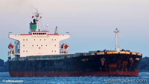
Find the position of the vessel Bellamys on the map. The latter are known coordinates and path.
marine traffic ship tracker show on live map
The current position of vessel Bellamys is 25.3952 lat / 123.856 lng. Updated: 2024-05-01 21:10:42 UTCCurrently sailing under the flag of Liberia
Bellamys built in 2005 year
Deadweight:
76286 tPayload_mass:
76286 tonneGross tonnage:
39964Service entry:
2005-01-01T00:00:00ZDetails:
Last coordinates of the vessel:
UTC, 25.0416, 123.651, course: 21, speed: 11.5UTC, 25.1036, 123.681, course: 28, speed: 11.1
UTC, 25.353, 123.83, course: 29, speed: 11
2024-05-01 21:10:42 UTC, 25.3952, 123.856, course: 29, speed: 11.4